Advanced drone inspection, survey, and mapping services powered by experience, technology, and precision.
SunSky Drones, founded by Suraj Ghosh, is a professional drone services company delivering advanced aerial inspection, survey, and mapping solutions across Kolkata, West Bengal, and beyond. With over 6 years of hands-on industry experience, we combine cutting-edge drone technology with skilled expertise to help organizations inspect, analyze, and plan with greater accuracy and safety.
Our mission is to enable smarter decision-making through reliable aerial data—serving critical sectors such as power plants, transmission towers, infrastructure projects, land and topographic mapping, road and railway corridors, and aerial videography.
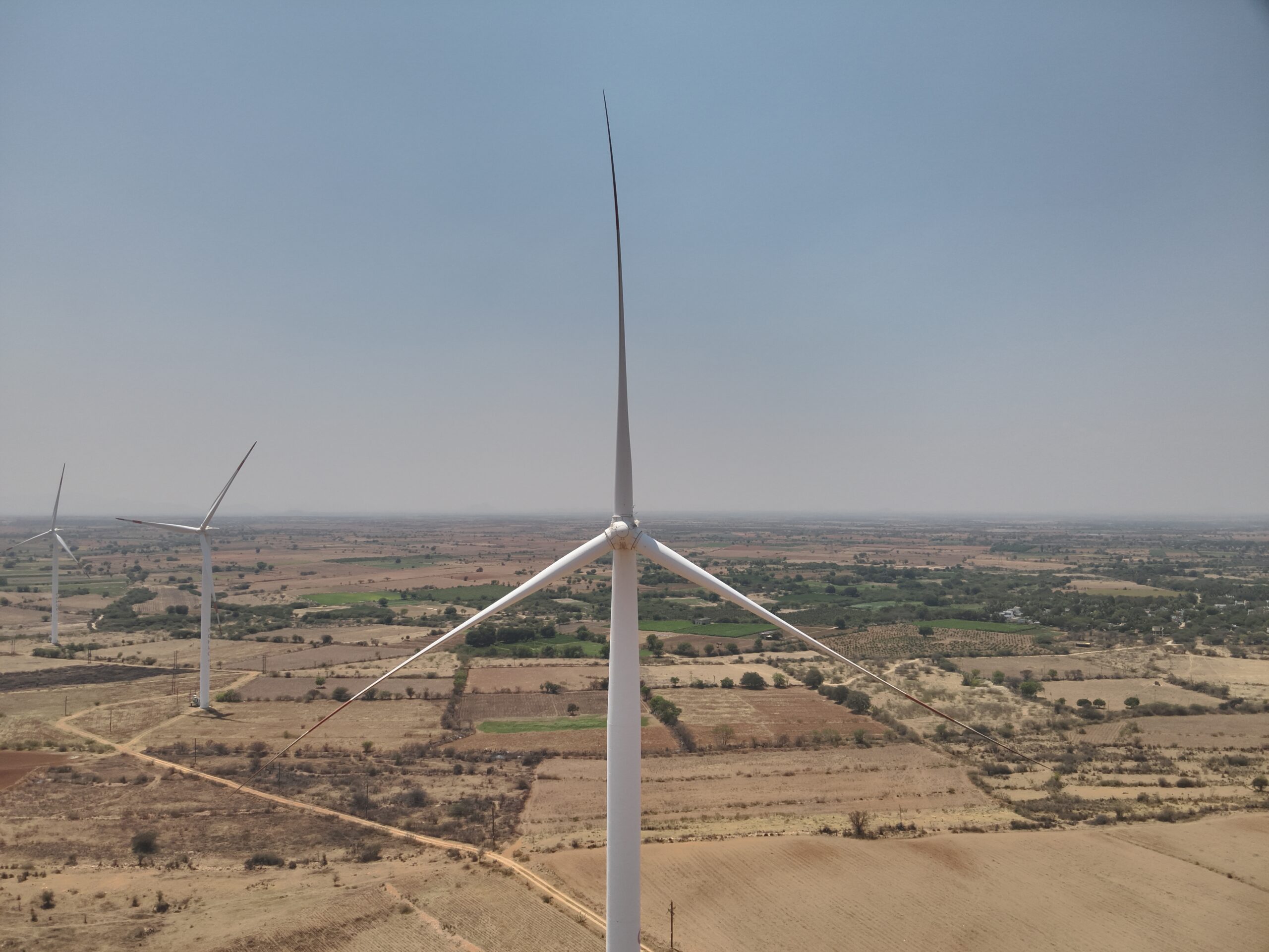
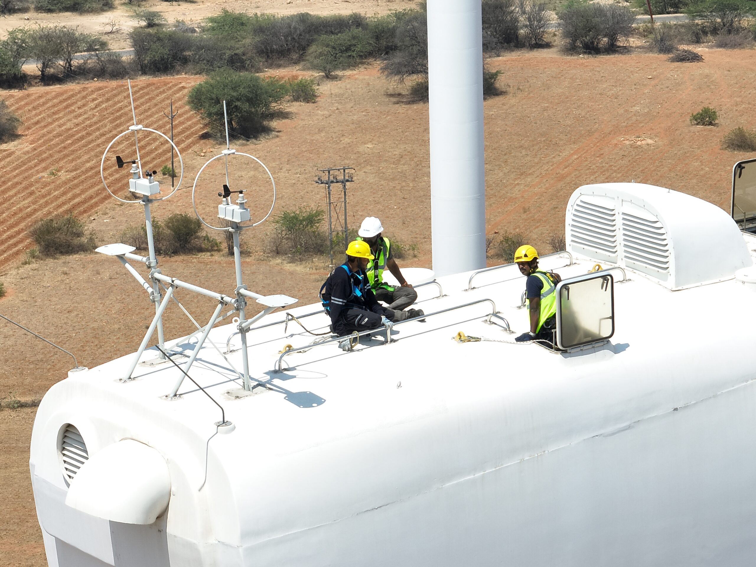
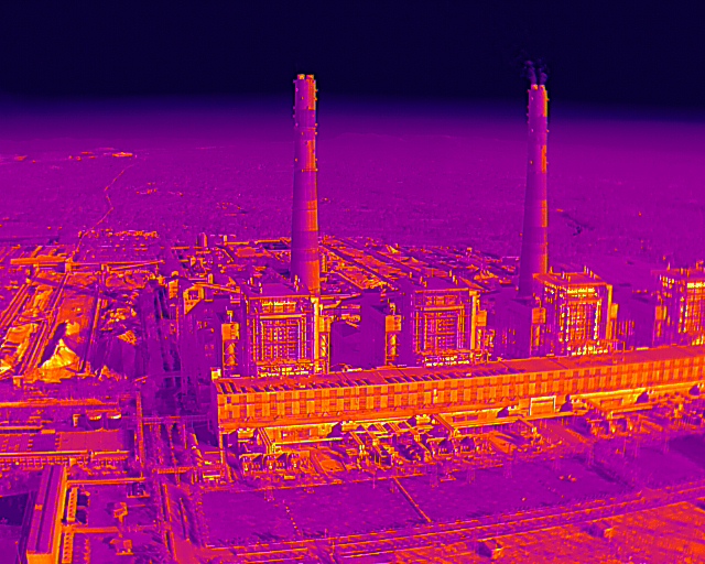
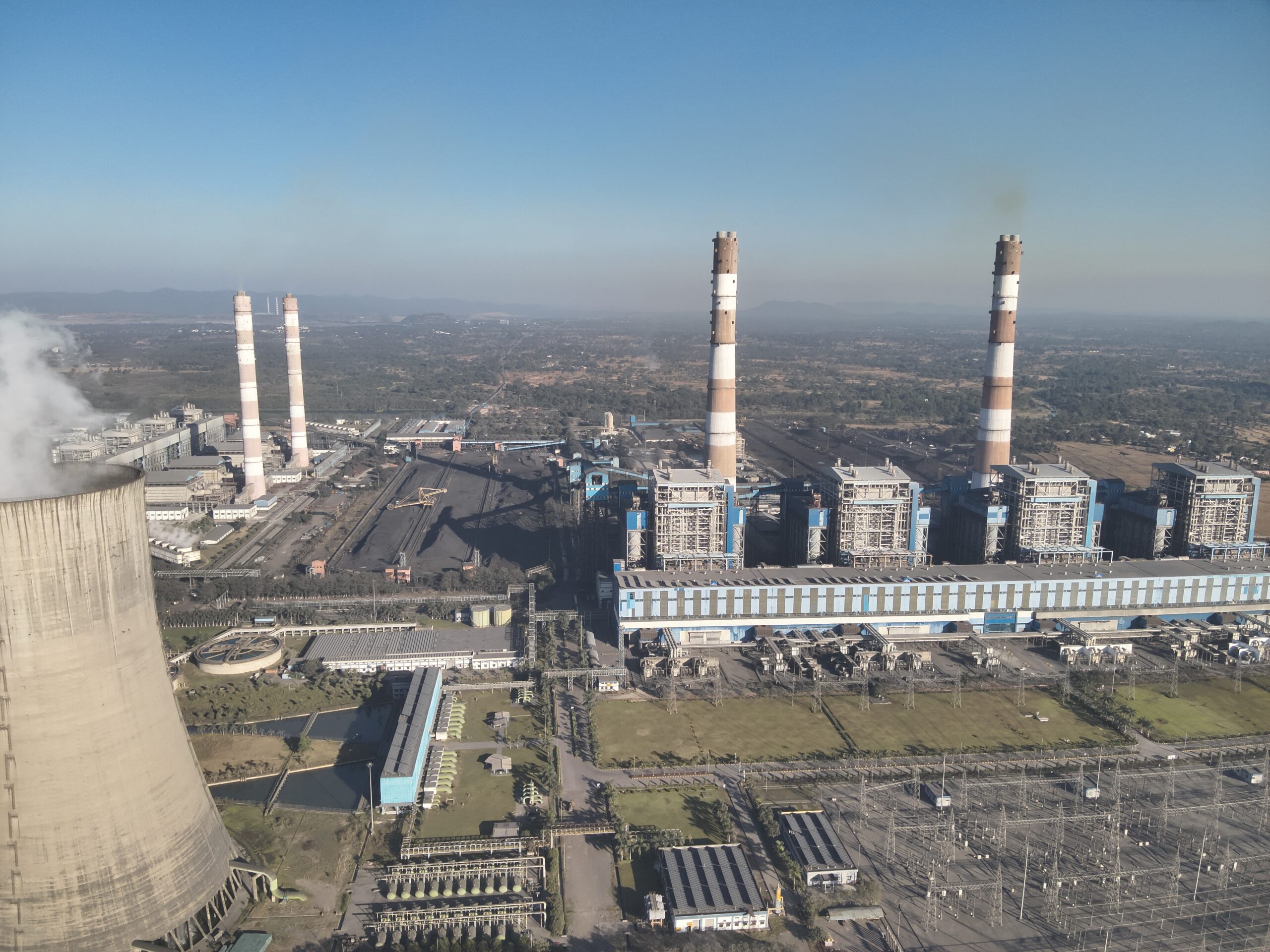
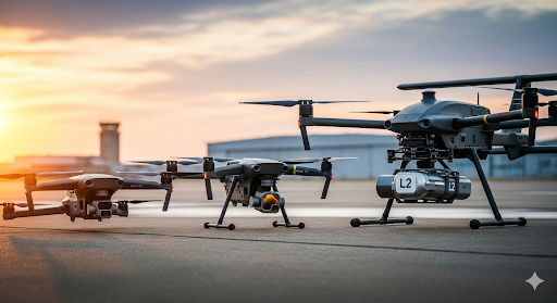
We conduct safe and efficient drone inspections for power plants, transmission lines, bridges, chimneys, windmills, and high-rise structures.
We capture and process RGB, thermal, and LiDAR data to generate actionable insights for engineering, planning, and maintenance teams.
Professional drone videography and photography for infrastructure documentation, promotional visuals, events, and project monitoring.
Our mission is to empower our clients by delivering exceptional aerial services that provide accurate data and powerful insights for their projects and businesses.
To be the most trusted and innovative provider of advanced drone solutions, setting the industry standard for safety and technological excellence across the whole India.
The journey of SunSky Drones began with a simple vision—using drone technology to make inspections, surveys, and aerial data collection safer, faster, and more accurate. Founded by Suraj Ghosh in Kolkata, West Bengal, SunSky Drones was built on a passion for precision, innovation, and real-world problem solving.
In the early years, we focused on hands-on fieldwork, testing drone platforms, sensors, and workflows across challenging environments. From infrastructure inspections and transmission towers to land mapping and corridor surveys, every project helped refine our expertise and strengthen our commitment to quality and safety.
Today, with over 3 years of experience, SunSky Drones supports industries, government bodies, and enterprises with advanced drone inspection, survey, mapping, and aerial documentation services. Our work is driven by accuracy, regulatory compliance, and actionable insights—helping clients make informed decisions with confidence.
Empowering businesses with advanced aerial intelligence, we help organizations reduce risk, optimize workflows, and achieve faster, data-driven decision-making.


At SunSky Drones, we harness cutting-edge drone technology to bring clarity, accuracy, and elevated insights to every project.
Our team is made up of engineers, designers, and logistics experts who share a passion for reimagining the future of delivery. Together, we are committed to building solutions that make aerial logistics practical and scalable.
Hi, I’m Suraj Ghosh, CEO of SunSky Drones, with deep experience in drone technology. I aim to replace risk with intelligence, making operations safer, smarter, and more efficient.
Hi, I’m Dabashis Paramanik, Drone Pilot at SunSky Drones, skilled in executing precise aerial missions. I ensure safe, accurate, and efficient data capture across diverse operational environments.
Hi, I’m Shaan Gupta, Business Manager at SunSky Drones, leading website development and growth strategies. I focus on driving business expansion, client engagement, and digital innovation.
Hi, I’m Provas Rautroy, CTO of SunSky Drones, with strong expertise in drone technology and operations. I focus on building innovative solutions that transform workflows into safer, smarter, and highly efficient systems.
From urban inspections to remote site surveys, our drone operations deliver accuracy, speed, and safety—wherever your project is located.
Get the latest news, updates, and special offers.