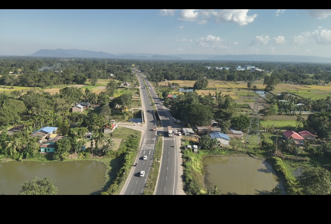
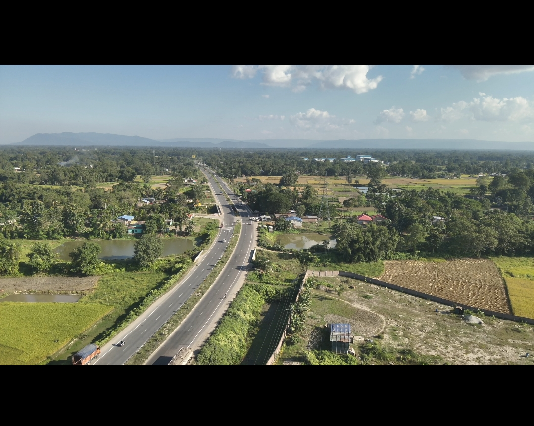
Smart Drone Aerial Surveys for Highways
Highway aerial surveys are critical for route planning, alignment design, progress monitoring, and asset condition assessment. Conventional survey methods are often time-consuming, manpower-intensive, and disruptive to live traffic.
SunSky Drones provides a smarter solution through drone-based highway aerial survey services. Using high-resolution RGB imagery and advanced mapping workflows, we capture accurate geospatial data along road corridors—covering long stretches quickly without interrupting traffic flow.
Our surveys support engineers, planners, and contractors with detailed visuals, measurements, and insights for informed decision-making across all stages of highway development.