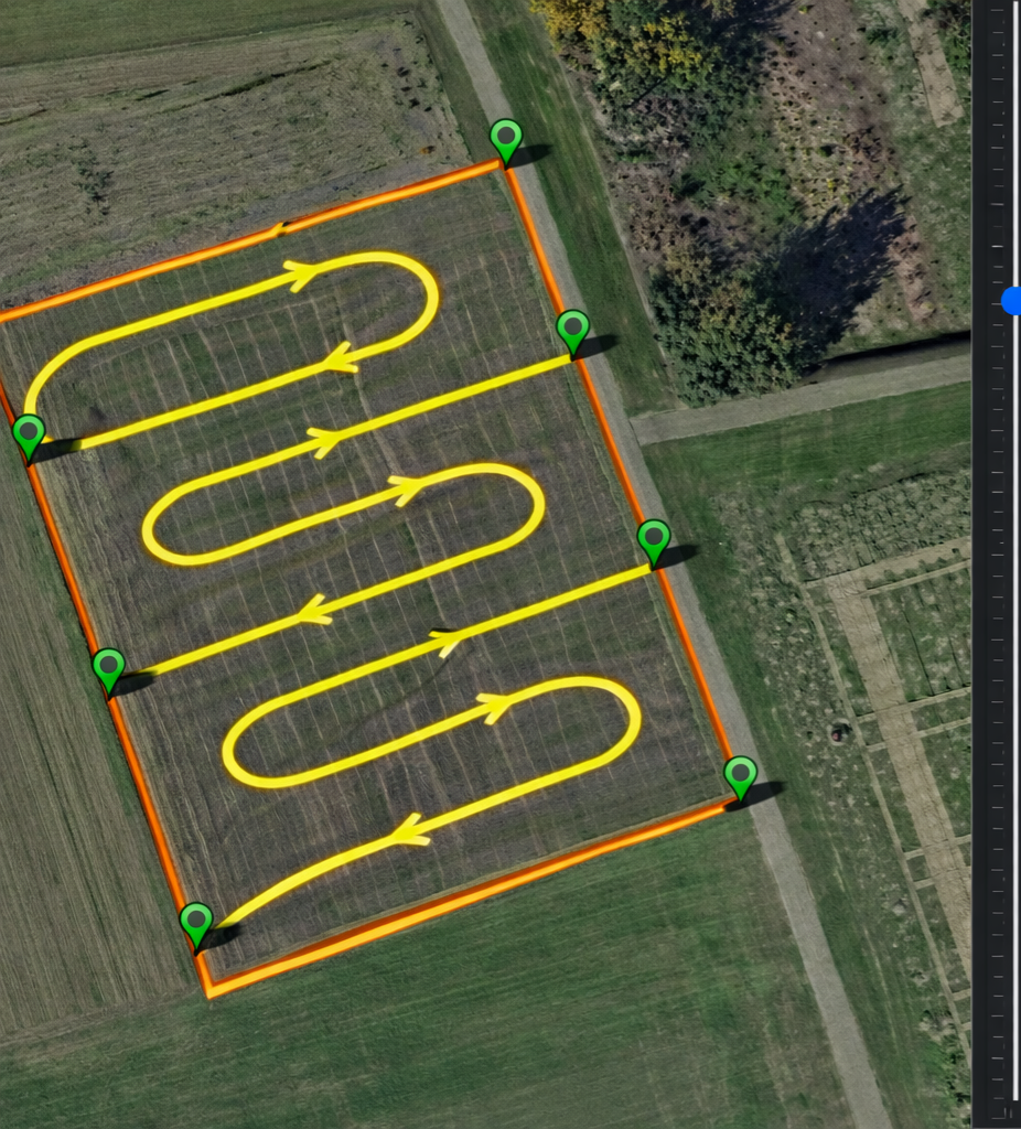
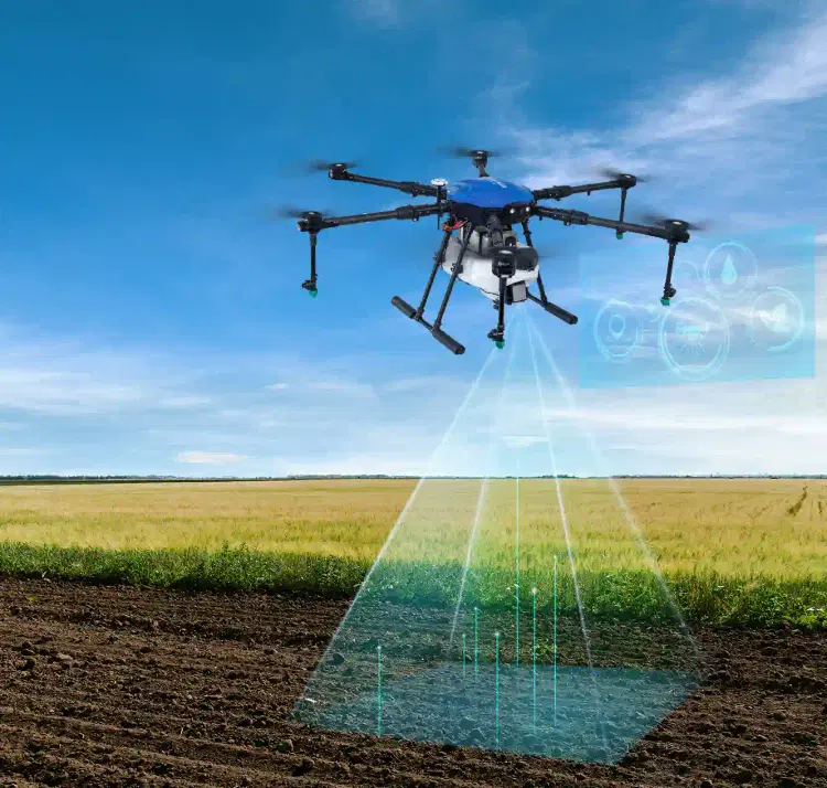
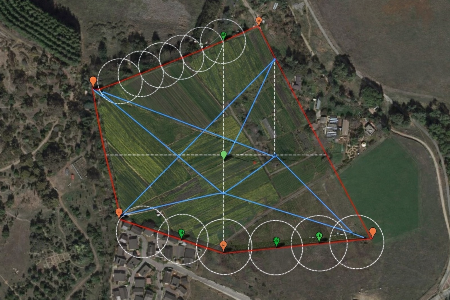
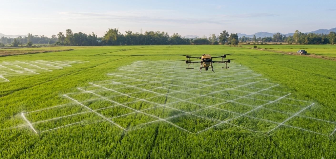
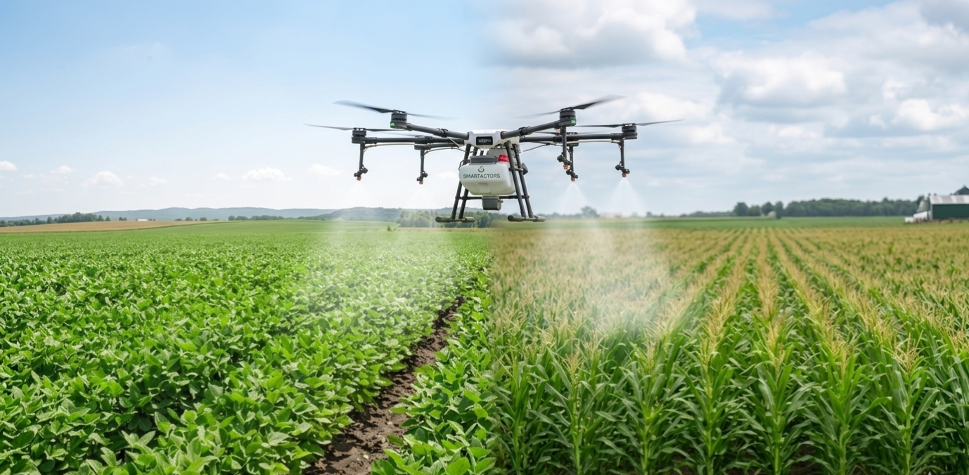
Precision agriculture is the future of farming, and our drone surveys provide the “eye in the sky” needed for data-driven decisions. By using multispectral sensors, we analyze crop health (NDVI), soil moisture, and pest infestations across thousands of acres in a single flight—data that is impossible to gather by walking the fields.
Why it’s better: It replaces manual “scouting” with automated, high-speed mapping that detects crop stress weeks before it becomes visible to the human eye.
Key Benefits:
– Yield Maximization: Identifies underperforming areas to optimize fertilizer and water usage.
– Early Detection: Spots disease and pest outbreaks early to prevent widespread crop loss.
– Cost Savings: Reduces chemical waste by enabling “spot-spraying” instead of blanket application.
– Damage Assessment: Provides accurate data for insurance claims after storms or droughts.
We’re always excited to connect! Drop us a message, and we’ll get back to you with the answers, solutions, or support you’re looking for.
Our success is built on strong partnerships. From global retailers and hospitals to local startups and logistics leaders, we work hand-in-hand with organizations that value innovation,


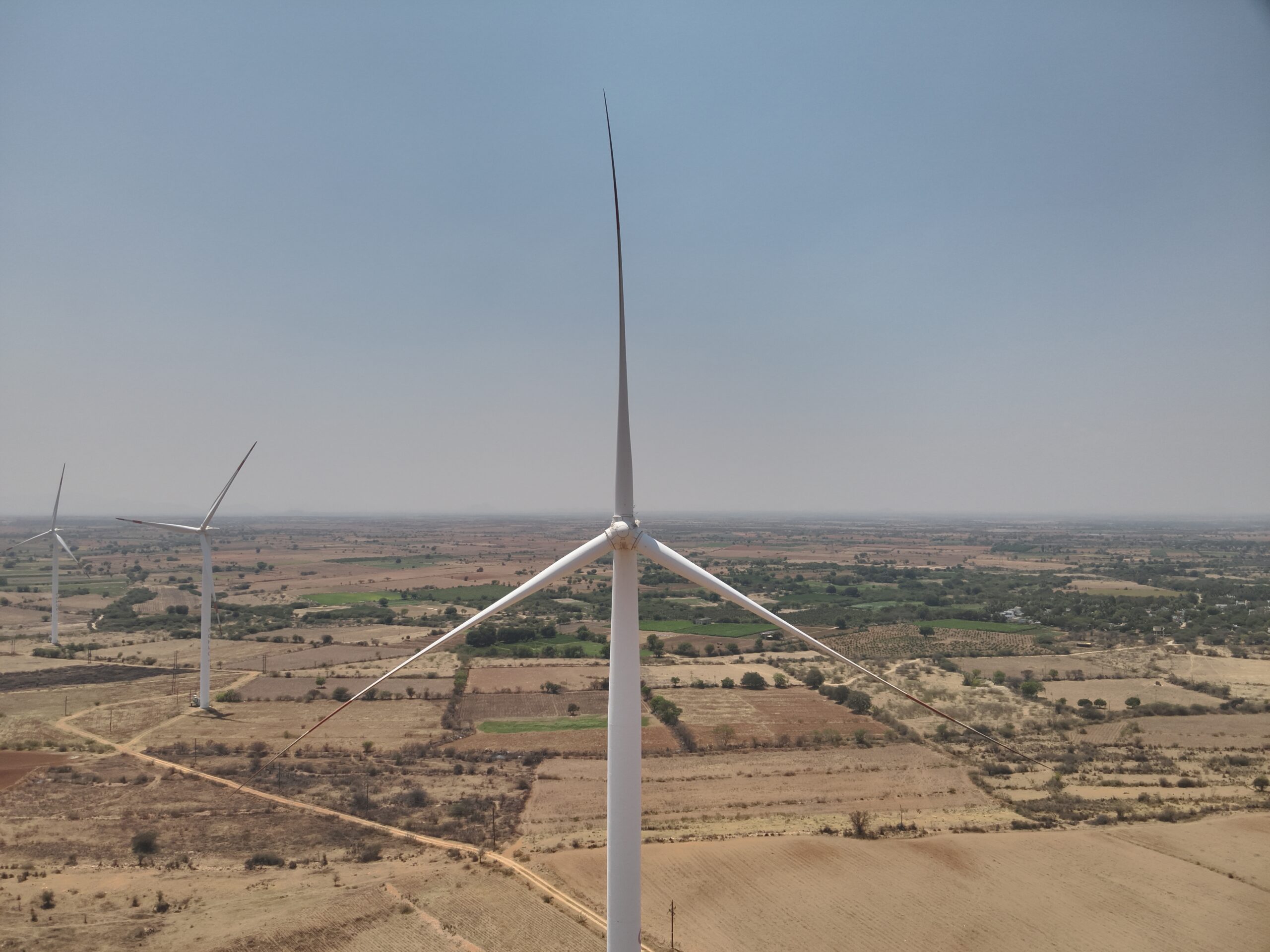
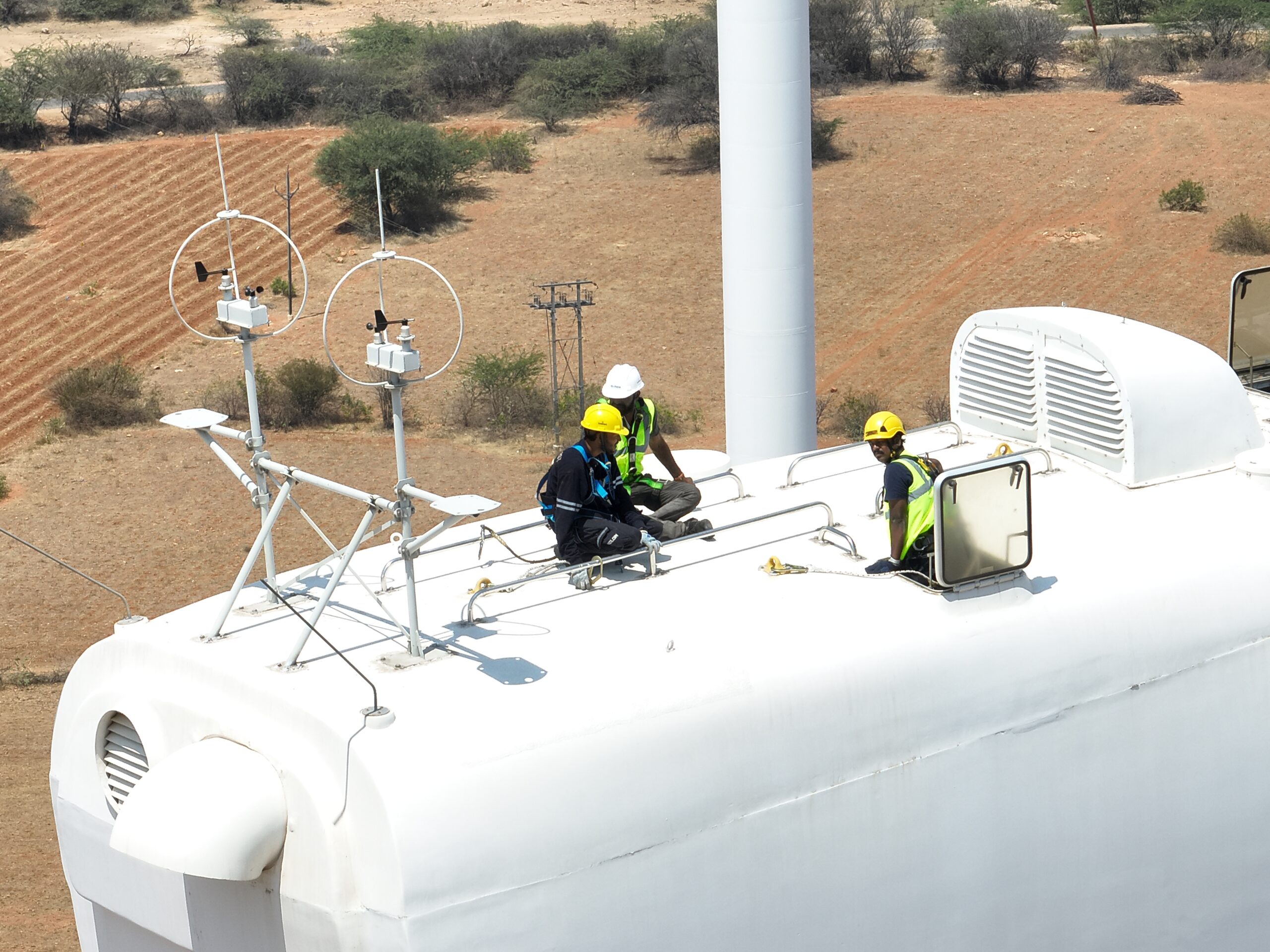
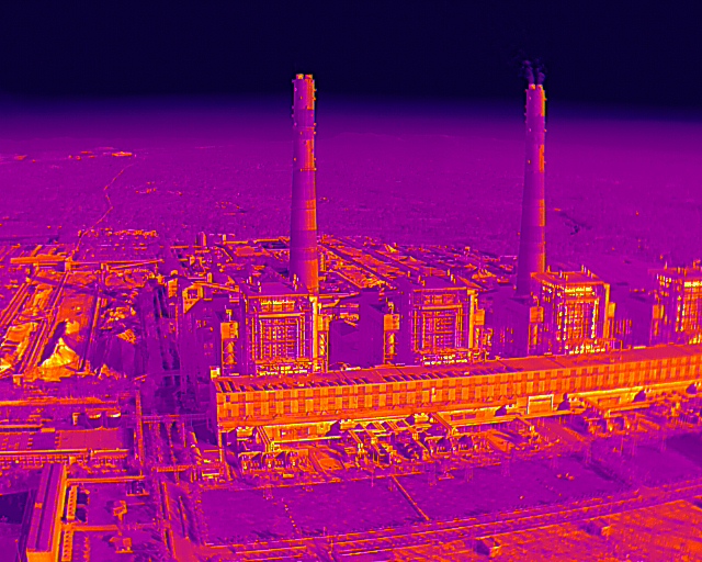
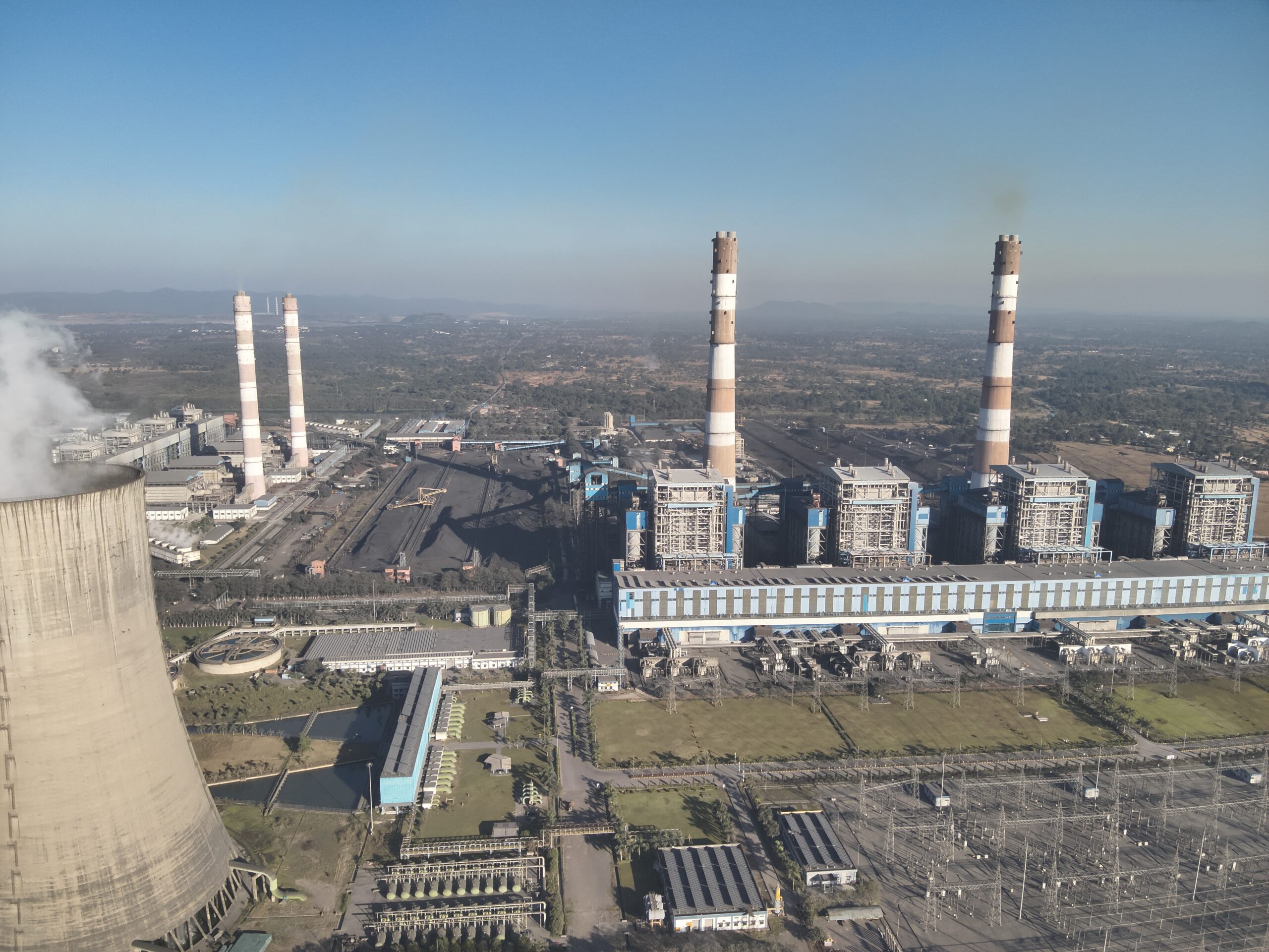
From urban inspections to remote site surveys, our drone operations deliver accuracy, speed, and safety—wherever your project is located.
Get the latest news, updates, and special offers.