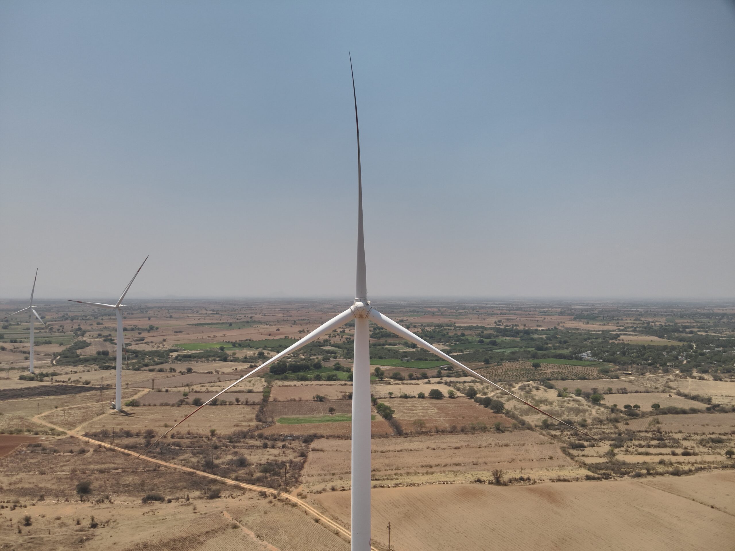
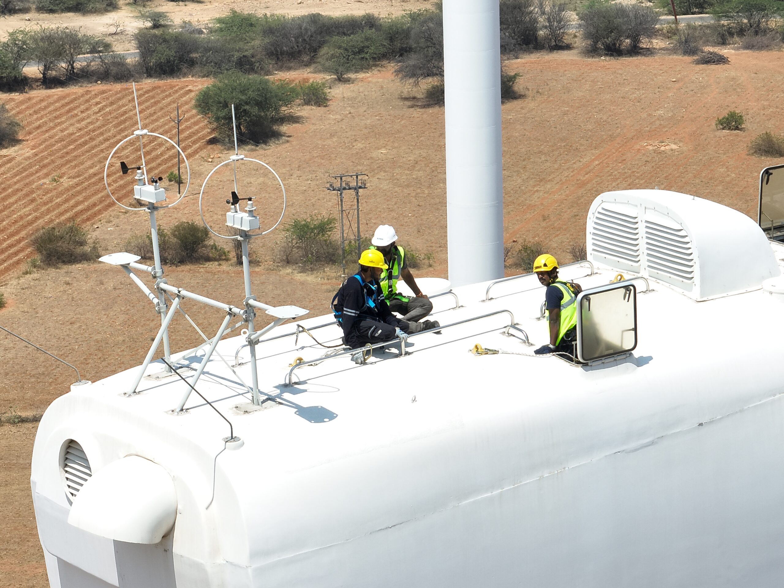
Smart LiDAR Drone Inspection & Mapping Solutions
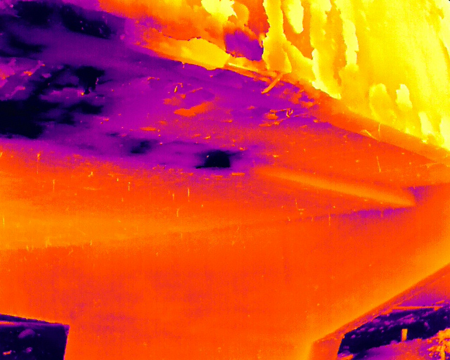
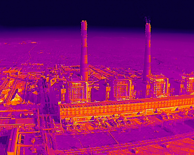
Our high-precision LiDAR (Light Detection and Ranging) drones generate dense 3D point clouds for terrain and asset modeling. Unlike traditional photogrammetry, LiDAR penetrates dense vegetation to reveal the true ground surface, providing unmatched topographical accuracy for complex engineering projects.
Why it’s better: It eliminates the need for slow ground surveys in difficult terrain and provides 3D data that is far more accurate than standard 2D imagery.
Key Benefits:
– Vegetation Management: Accurately measures tree encroachment near power lines to prevent fires.
– Rapid Data Collection: Maps hundreds of acres in a single day with centimeter-level precision.
– Digital Twins: Creates highly detailed 3D models for infrastructure planning and analysis.
– All-Weather Capability: Effective in low-light and high-canopy environments where cameras fail.